About
It is our mission and goal to expand access to City services through tools that are easy to use, reliable, and accessible from anywhere at any time. Geographic Information Systems (GIS) are an important component in empowering the public and City staff through technological innovation.
Empowering Sacramento with GIS

Sacramento Thrives with GIS
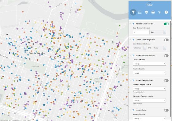
The GIS team provides robust real-time support to a variety of city operations, including 911 dispatching, garbage pickup routing, the 311 Service Center, supporting building permit applications, code enforcement, zoning and land-use planning, street and park maintenance, water distribution line and wastewater collection pipe repairs, underground service alert marking, Emergency Operation Center, and public information requests.